Cavanal Hill Fall Colors: Driving Oklahoma’s “World’s Highest Hill”
Planning a fall drive up Cavanal Hill? You probably want to know three things: whether the “World’s Highest Hill” is worth the trip, when the leaves peak, and what the road to the top is like. This guide answers all three, plus what’s at the summit and how to fit it into a road trip from Texas.
We drove up with my parents and a cousin who lives nearby. It was before our daughter came along, but I’ve added notes for visiting with kids.
Quick Answer: Is Cavanal Hill Worth Visiting?
Yes, especially in fall. Cavanal Hill is billed as the “World’s Highest Hill” at 1,999 feet. A free, paved 4.5-mile road climbs to a summit sign, an overlook, and a picnic pavilion with views over the Poteau River Valley. Allow about 1 to 1.5 hours with photo stops. We went the first week of November and hit peak fall color.
Is Cavanal Hill Really the World’s Highest Hill?
Sort of. The 1,999-foot figure is how much the hill rises above the surrounding land, one foot short of the old 2,000-foot cutoff for calling something a mountain. The summit actually sits about 2,385 feet above sea level, and its official name is Cavanal Mountain.
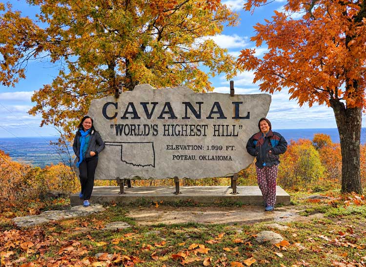
405 Magazine fact-checked the claim and found other Oklahoma hills that are taller, so treat the title as small-town bragging rights. The stone sign at the top has an outline of Oklahoma carved into it, and “World’s Highest Hill” is in quotation marks. I think Poteau is in on the joke.
Driving Up Cavanal Hill
From US-59/271 in Poteau, turn onto Hughes Drive, then right on Witteville Road. Follow it 1.2 miles to a Y and keep left to the top. In a map app, search “Cavanal Hill Overlook & Pavilion.”
My cousin’s family did the driving, so for once I got to be a passenger.
The road’s paved but narrow, with tight turns, a few bumps, and no center line. Going around some of those curves was a little scary, but we made it up without trouble. Take the turns slowly, and check conditions after heavy rain.
Our Midway Fall-Color Stop
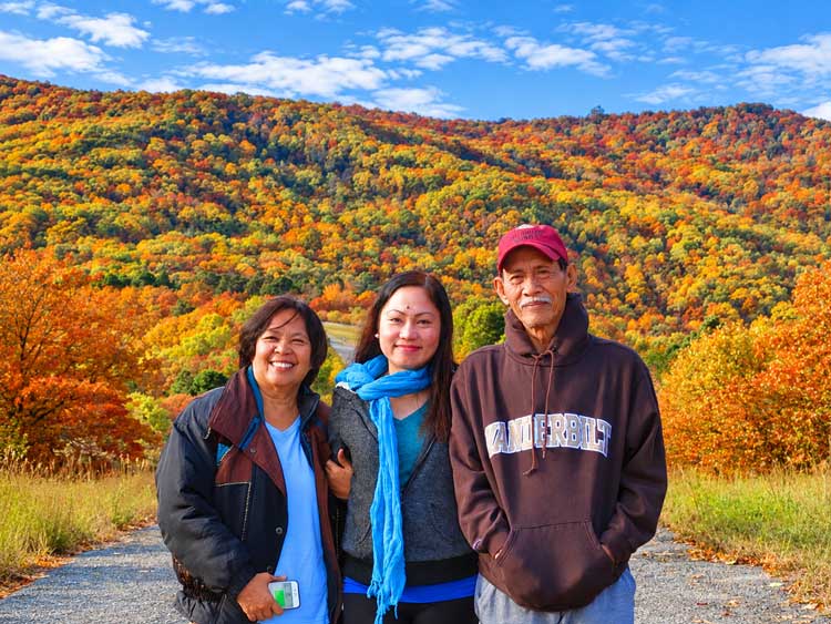
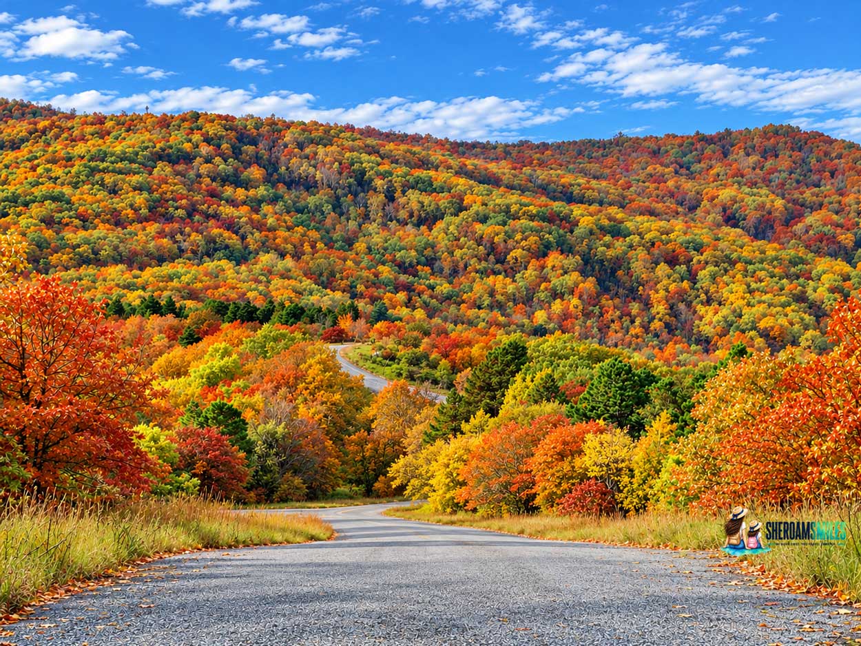
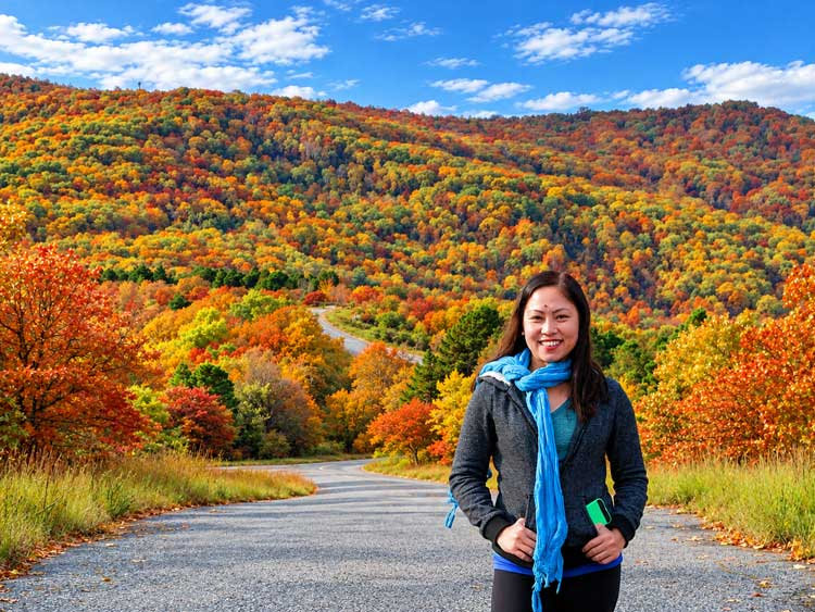
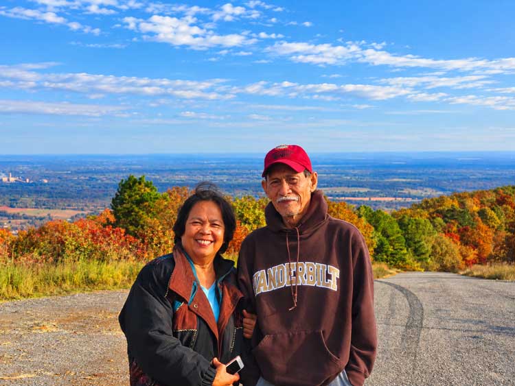
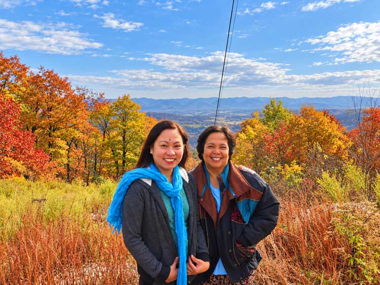
Partway up, we pulled onto the side of the road where the view opens across the hills: orange, gold, and green trees with the road winding through them. Nobody else was there, so we had it to ourselves for photos.
This was my favorite fall-color view of the outing. If there’s room to pull over safely, it’s worth the stop.
What’s at the Top of Cavanal Hill?
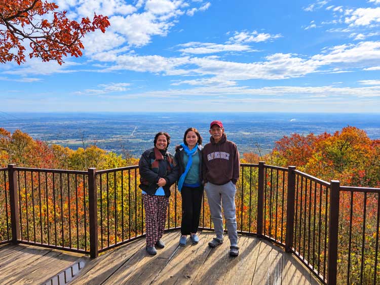
The summit has the stone sign, a gravel parking area, an overlook, and a picnic pavilion. Our day was clear and breezy, with roads, fields, and wooded hills spread across the Poteau River Valley below. On a really clear day, you can see Mt. Magazine in Arkansas.
Cavanal Hill Visitor Information
| Location | Poteau, Oklahoma |
|---|---|
| Summit Road | Approx. 4.5 miles, paved |
| Access | Drive to the summit |
| Visiting Hours | Daylight to dusk |
| Time Needed | About 1–1.5 hours with photo stops |
| Admission | Free |
| Main Attractions | Scenic drive, summit overlook, landmark sign |
| Fall Foliage | Late October to early November |
| Facilities | Picnic pavilion; use restrooms in Poteau |
We visited on a clear, breezy day and wore jackets. If you’d like to picnic at the top, bring your own snacks and drinks.
Cavanal Hill Fall Colors: When to Go
Peak color here usually runs from the last week of October into early November, and our visit landed right on it. Oaks had turned deep orange and gold, red shrubs lined the overlook, and green pines stood out against the changing leaves. Up top, tall golden grasses filled in the gaps.
Peak shifts a week or two with the weather, so check ExploreFall’s Oklahoma foliage map before you drive up.
For fall color closer to home in Texas, see our Lost Maples guide.
Turn It Into a Fall Road Trip
Cavanal Hill was our one outing on this trip; the rest was family time at my aunt’s.
If you have another day, the Talimena National Scenic Byway runs 54 miles along the Ouachita ridgeline from Talihina, Oklahoma, to Mena, Arkansas. You can reach its midpoint from Poteau by heading south on US-59. We didn’t make it there on this trip.
Getting There From Texas and What It Cost
Poteau sits near the Arkansas line, about 8 hours from Houston. I drove that stretch four times for this one visit, straight through with rest-area stops.
Once we were there, the hill was a short drive around town, and we stayed with family, so there was no lodging bill. No points or miles on this one.
Coming from farther away? Fort Smith, Arkansas, has more chain hotels where points can work, or you can compare Fort Smith and Poteau stays on Booking.com.
Flying in? Fort Smith Regional Airport is about 45 minutes from Poteau. You’ll need a car for the hill, so compare rentals on Discover Cars.
Is Cavanal Hill Worth It With Parents or Kids?
Definitely worth it for my parents. You drive almost to the sign, so there’s no hiking, and the payoff is fall color plus a family photo with the famous sign.
Would I take our daughter now? Yes. Just keep little ones close near the overlook edge. If you’re weighing bigger trips with a little one, here’s how we decide if a trip is doable.
FAQ
Where is Cavanal Hill?
Just outside Poteau in Le Flore County, eastern Oklahoma, near the Arkansas line.
How long does the drive to the top take?
The road is 4.5 miles. Allow 1 to 1.5 hours round trip with photo stops.
When is peak fall color at Cavanal Hill?
Usually the last week of October through the first week of November.
Can you walk or run up Cavanal Hill?
Yes. Poteau holds the Cavanal Killer race up the hill every May.
Final Thoughts
Cavanal Hill gave us a beautiful fall outing during our family visit to Poteau. The winding drive, colorful midway viewpoint, and summit panorama made it a memorable stop.
If you’re visiting southeastern Oklahoma in autumn, I’d make time for the drive to the top of the “World’s Highest Hill.”